Met Office weekend weather forecast for Leeds as heavy rain set to hit city
and live on Freeview channel 276
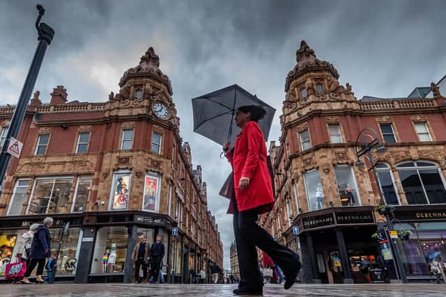
Thankfully, there is little chance of rain affecting Leeds today, with showers dropping off when they reach Sheffield.
Advertisement
Hide AdAdvertisement
Hide AdBut unfortunately, we're in for a mixed weekend as heavy rain is set to hit Leeds on Sunday morning.

The rain is forecast to start at 7am on Sunday and there is a strong chance it will continue throughout the day.
Thankfully, next week looks dry, with temperatures rising from 16C on Monday, up to 20C by Thursday - though blazing sunshine is not forecast.
Here is the full forecast for the weekend ahead:
Today: Dry for much of the day with bright spells during the morning. Cloud will increase later with occasionally heavy rain arriving in the south during the afternoon. Light winds inland, breezy on coasts. Maximum temperature 18 °C.
Advertisement
Hide AdAdvertisement
Hide AdTonight: Intermittent rain will spread northwards, mainly affecting southeastern areas, perhaps becoming heavy in a few places at times. Continuing breezy along coasts, with lighter winds inland. Minimum temperature 8 °C.
Saturday: Any early rain will clear. Variable cloud cover will allow warm sunny spells to develop, but with a few showers. Brisk winds on coasts will ease. Maximum temperature 21 °C.
Outlook for Sunday to Tuesday: Cloudy with occasionally heavy, thundery rain on Sunday, feeling rather cool. Monday and Tuesday will have more variable cloud, perhaps a few heavy showers with some sunny intervals possible.
UK long-range weather forecast (Tuesday, June 22 - Thursday, July 1): Unsettled conditions are likely to continue at the start of this period, with a mixture of sunny spells and scattered heavy showers, and a risk of thunder and perhaps hail. Longer spells of rain are also possible in the north and west.
Advertisement
Hide AdAdvertisement
Hide AdAtlantic air then looks likely to spread across the country from the west through the week, bringing a change to cooler and more changeable conditions.
This will likely bring spells of rain or showers interspersed with periods of dry weather and sunny spells.
The driest and brightest conditions are likely in the southeast, though further showers or thunderstorms are possible here.
Temperatures are likely to recover to near normal by the end of the month.
Advertisement
Hide AdAdvertisement
Hide AdSupport the YEP and become a subscriber today. Enjoy unlimited access to local news and the latest on Leeds United. With a digital subscription, you see fewer ads, enjoy faster load times, and get access to exclusive newsletters and content. Click here to subscribe